Area watch · dated imagery
Your field, dated every day.
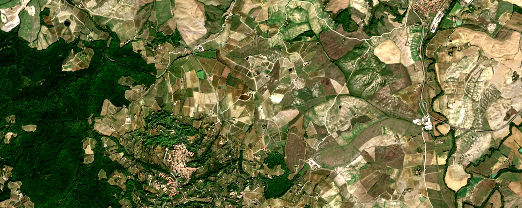
Drop a pin. For the field, we keep one frame per acquisition day, choosing Sentinel-2, Landsat, or Sentinel-1 in that order. Around it, a daily 240 km true-colour mosaic and a Meteosat-12 frame every three hours.
10 m optical · 30 m Landsat · 10 m radar · 240 km daily mosaic · Meteosat-12 every 3 h
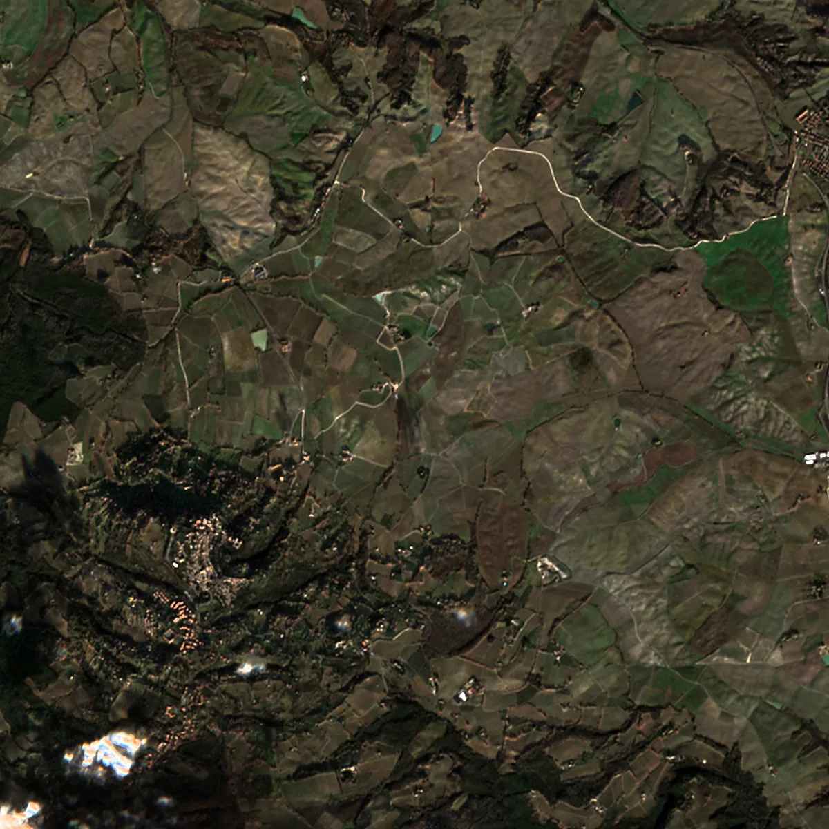 Sentinel-2 · 10 m
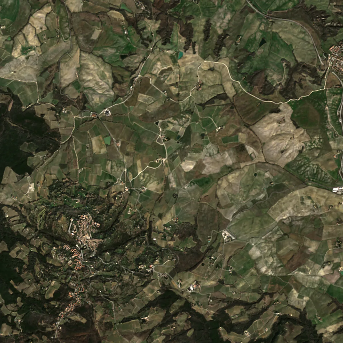
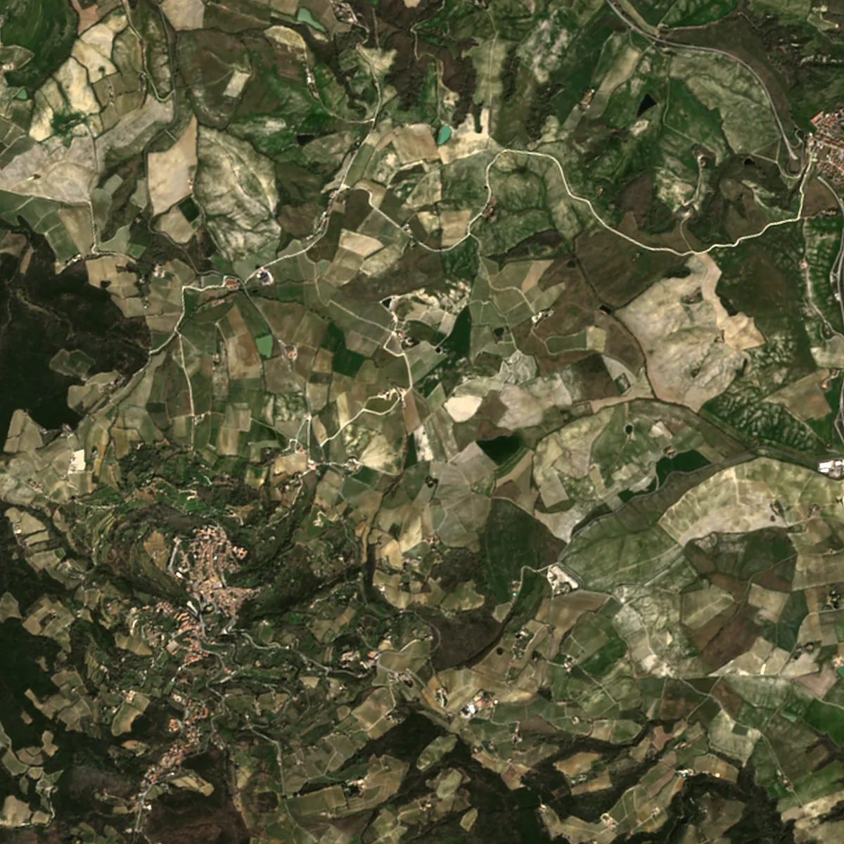
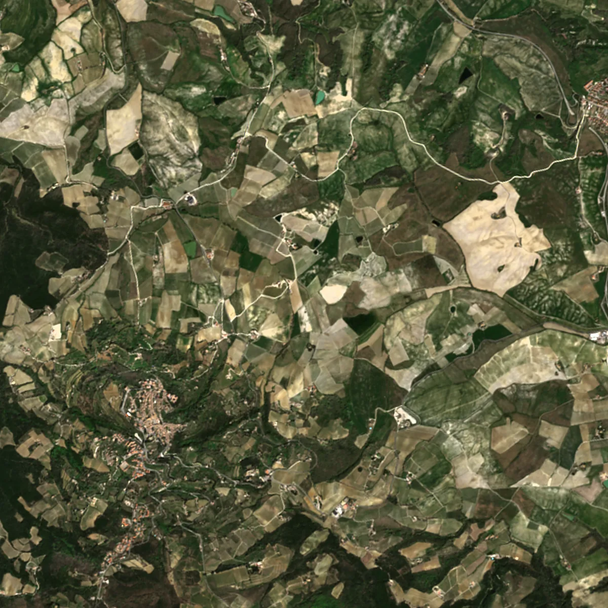
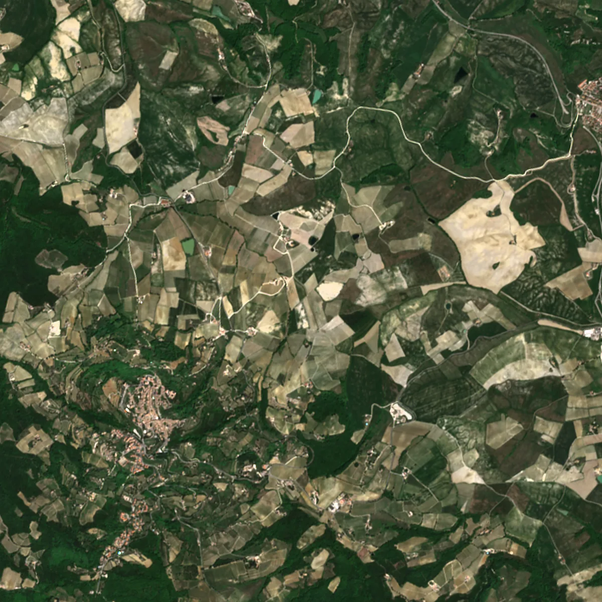
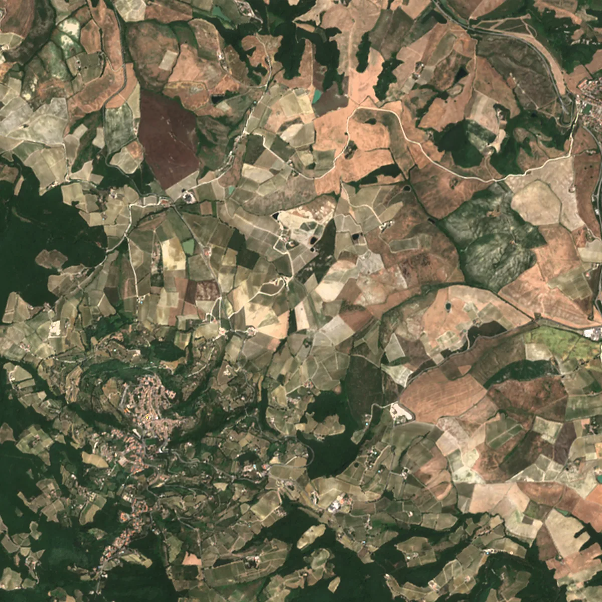
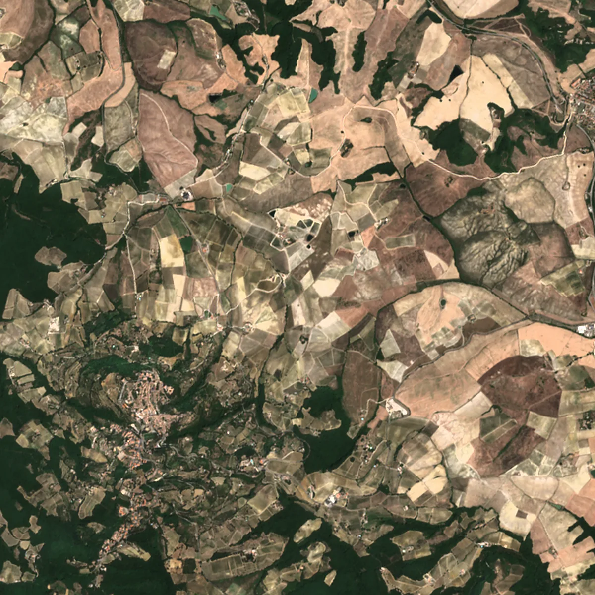
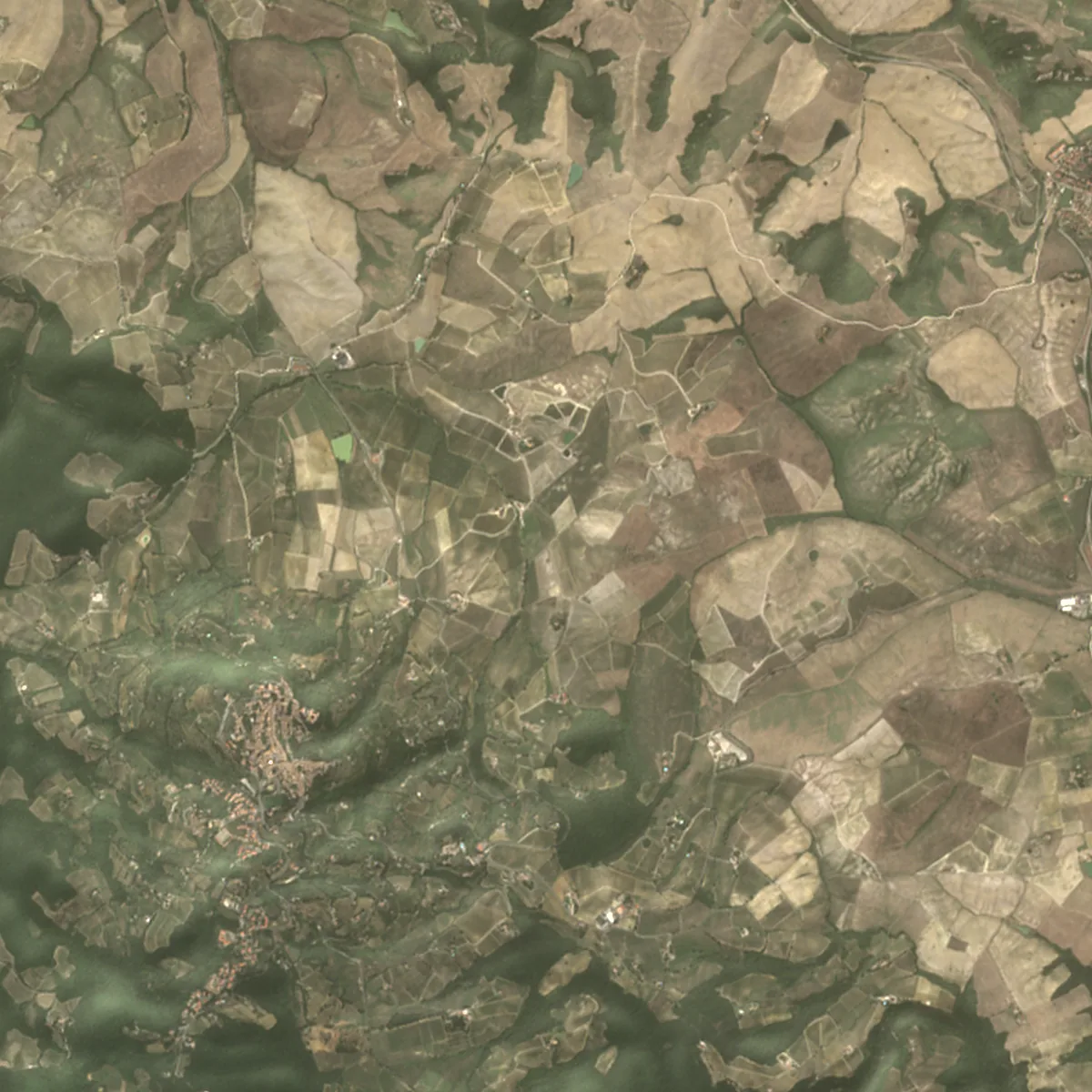
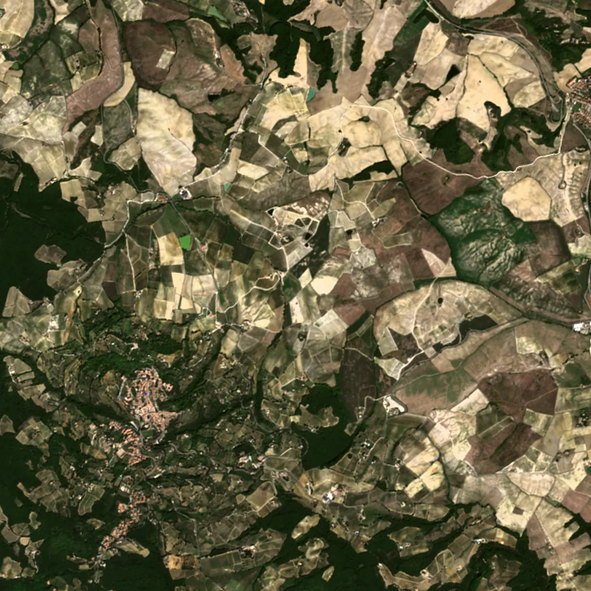
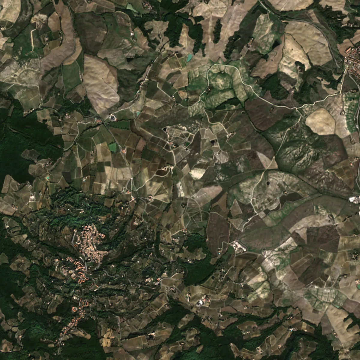
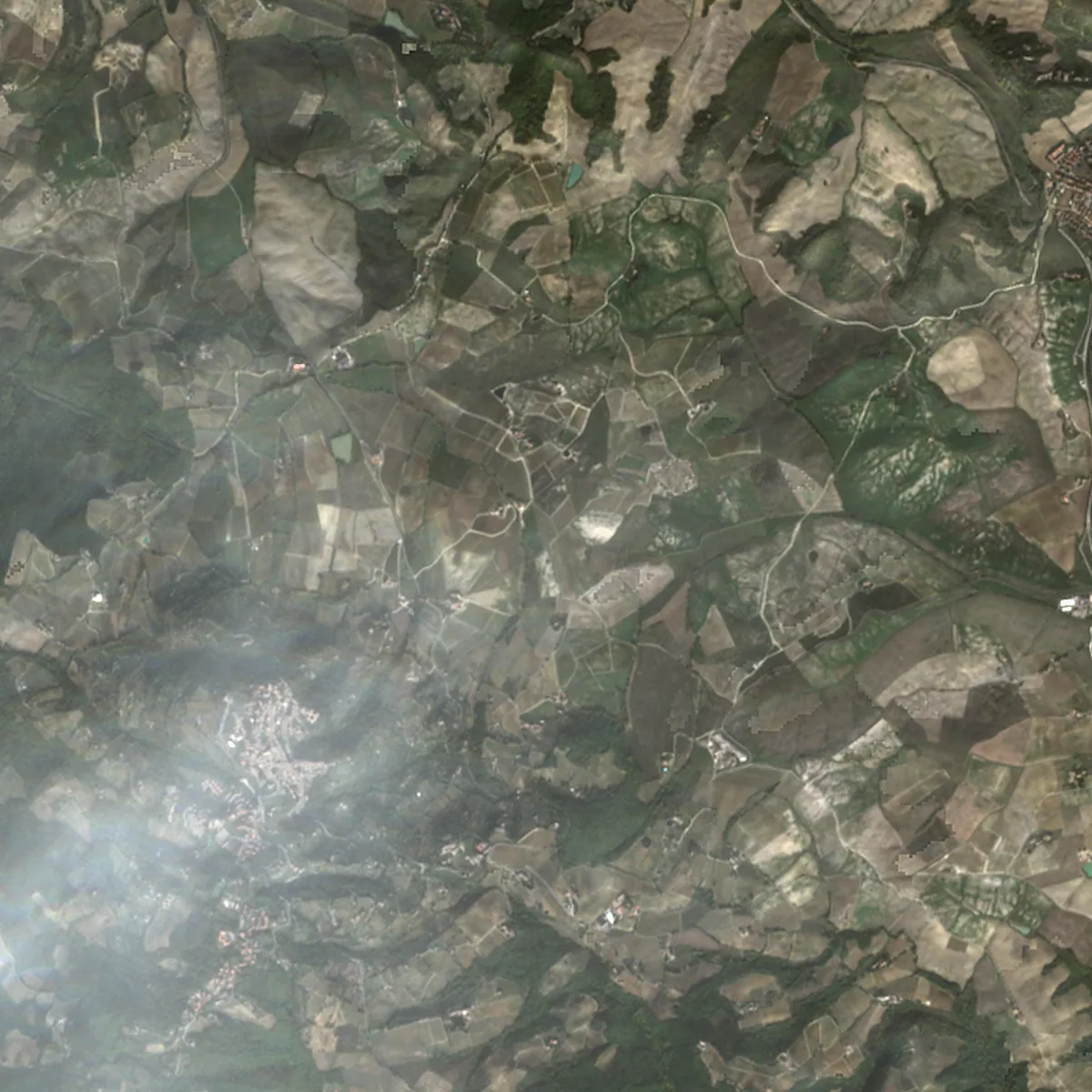
Click a month, or let the plate run.
Tuscany · 2026 · Contains modified Copernicus Sentinel data 2026.
The whole record
A season, month by month.
Eleven months over the same field. Each frame is the clearest field pass of its month, with its date and clear share. Weather frames are context, not a substitute for the field.
11 field frames · Jan–Nov 2026
Click a frame to show it above. Weather frames stay on the app timeline.
How it works
One frame a day. Whichever satellite saw it.
No polygon to draw. A coordinate, a radius and a period. The record fills in as the archives are searched.
-
01
Drop a pin
A coordinate and a radius. No shapefile, no drawing. Two kilometres around a field is enough to start.
-
02
Take the best source
Sentinel-2 first, Landsat second, Sentinel-1 radar when both optical passes are cloudy. One source is enough for a day.
-
03
Keep the field and the weather
The first source that qualifies for the field, then the daily mosaics and Meteosat-12 frames around it. The newest detail frame is the cover.
The sources
Four sources. One record.
For the field, one frame per acquisition day, chosen from Sentinel-2, Landsat, or Sentinel-1 in that order, plus the weather around it. Every frame is labelled with its source and width.
-
Sentinel-2
10 m · 2–3 daysThe first optical source the record checks.
-
Landsat 8/9
30 m · 8 daysA second optical attempt when the Sentinel-2 pass is cloudy.
-
Sentinel-1
10 m radar · 6 daysRadar. It sees through cloud and at night; brighter ground is rougher.
-
Weather
250 m–2 km · daily to 3 hDaily mosaics at 250–375 m over 240 km, and Meteosat-12 at 2 km over 800 km.
Radar is never used on a day with a clear optical scene. Weather frames are context, not the field: 240 or 800 km wide. MODIS and VIIRS via NASA GIBS; Meteosat via EUMETSAT.
Weather
The weather around the field.
A 240 km daily mosaic shows the weather system. An 800 km Meteosat-12 frame shows it every three hours. Both are context, not the field.
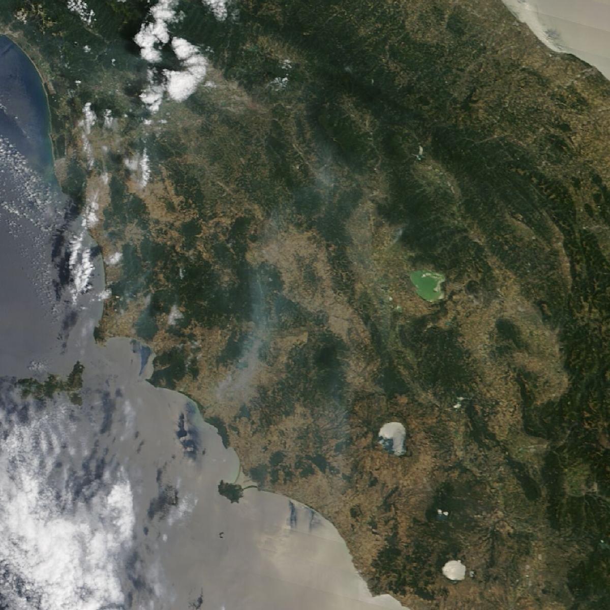 240 km
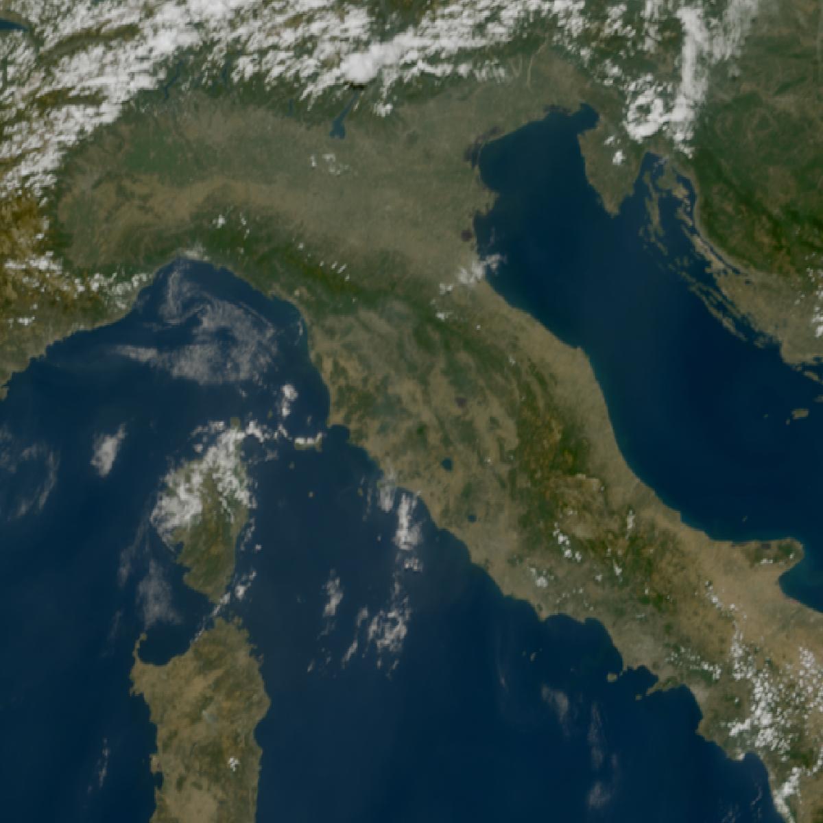 800 km
- Context, not the field
- Weather frames are wider than the watch. Each frame states its width.
- One mosaic a day, per satellite
- Five polar satellites, five daily mosaics, from Terra in the morning to NOAA-21 in the afternoon.
- Every three hours
- Meteosat-12 is geostationary. It covers the same field day and night, at 00, 03, 06 … UTC.
- Only inside the disc
- The Meteosat disc covers Europe, Africa, and the Middle East. Outside it, no weather frame is claimed.
MODIS Terra via NASA GIBS, 1 Aug 2026. Meteosat-12 via EUMETSAT, 1 Aug 2026 12:00 UTC. Contains modified EUMETSAT Meteosat data 2026.
In orbit
Thirteen satellites. Every frame says which.
Thirteen satellites in three groups: field detail at 10–30 m, daily mosaics at 250–375 m, and one geostationary weather imager at 2 km.
Detail
-
Sentinel-2A · 2B · 2C
ESA / Copernicus · 10 m · 2–3 days
The first optical source.
-
Landsat 8 · 9
NASA / USGS · 30 m · 8 days
A second optical source.
-
Sentinel-1C · 1D
ESA / Copernicus · 10 m radar · 6 days
Radar, through cloud and at night.
Daily mosaic
-
Terra
NASA · 250 m · daily
Morning true colour, 240 km wide.
-
Aqua
NASA · 250 m · daily
Afternoon true colour, 240 km wide.
-
Suomi NPP
NASA / NOAA · 375 m · daily
VIIRS, the first in the series.
-
NOAA-20
NOAA · 375 m · daily
VIIRS, afternoon orbit.
-
NOAA-21
NOAA · 375 m · daily
VIIRS, the newest polar pass.
Weather
-
Meteosat-12
EUMETSAT · 2 km · every 3 h
A weather frame around the field, 800 km wide.
Every frame names its satellite and its width. Weather frames are labelled as weather.
Limits
What it is not.
- Not a tree
- 10 m is a field, a block, an orchard row. You see the row, not the tree.
- Not real time
- Sentinel-2 publishes hours to days after capture; radar in about half a day.
- Not always a photo
- On a closed day the frame is radar, dated and labelled as radar.
- Not the same scale
- A detail frame is a few kilometres of field. A weather frame is 240 to 800 km around it.
- Not unlimited
- 260 detail frames and 240 weather frames per watch, 36 months. The timeline keeps the newest.
- Not a live feed
- A weather frame arrives every three hours, and only where the Meteosat disc sees the field.
The record
Start with one coordinate.
Open the app, drop a pin, and the record starts filling in.
Sentinel-2 · Tuscany · 19 Oct 2026 · Contains modified Copernicus data